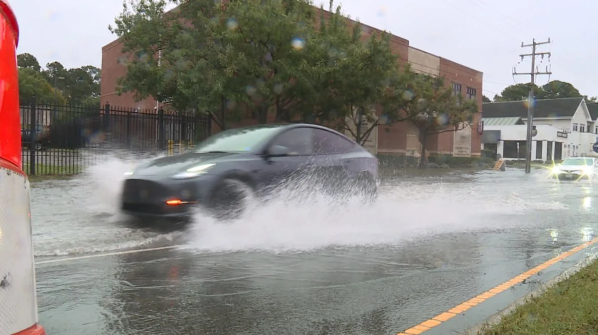

BROWNSVILLE, TX — A multi-day stretch of heavy rain could bring flash flooding to the Rio Grande Valley and ranchland counties in deep South Texas beginning Thursday, the National Weather Service office in Brownsville said.
Meteorologists said rainfall chances have increased since Monday’s early forecast. By Tuesday morning, the Valley was under a slight to moderate risk of excessive rainfall, and the agency said severe weather was not expected. Still, stronger thunderstorms could produce small hail.
The biggest concern is repeated downpours over the same areas, which can quickly overwhelm drainage and low-lying roads.
Remnants of Hurricane Polo may feed the storm pattern
The weather setup involves the remnants of Hurricane Polo, tropical moisture from the Pacific Ocean and Gulf of Mexico, and a slow-moving cold front that is expected to slide south into Texas later this week.
When those systems interact, forecasters said they can produce “training” showers and thunderstorms, meaning waves of rain that form, weaken and then reform over the same area. That pattern can raise the risk of flash flooding even without severe thunderstorms.
The National Weather Service said those repeated storms could develop across South Texas as the front moves through and moisture remains in place.
Roads, urban areas and small streams are the main concern
The weather service warned that urban neighborhoods, roads, small streams and washes are the most vulnerable areas. Isolated significant flash floods are possible, and floodwaters may force road closures.
That warning is especially important for drivers in low-lying spots and communities that can flood quickly after intense rain. Even relatively short bursts of heavy rainfall can create dangerous conditions when water has nowhere to drain.
Officials urged residents to pay attention to changing conditions as the rain bands move through the region.
Forecasters expect 2 to 4 inches across much of the region
Forecast models show all four Valley counties, the Northern Ranchland counties and the southernmost parts of the Texas coast could receive between 2 and 4 inches of rain over 48 hours from Thursday into Friday.
Rainfall is expected to be heaviest closer to the border, where the heaviest bands may set up as the weather systems interact. The forecast also shows a western corridor with a higher flood risk late Thursday into Friday morning.
For residents in those areas, the difference between a nuisance rain and a flood event may come down to where the heaviest showers repeatedly track.
West of U.S. 281 faces a moderate risk of excessive rainfall
Areas west of U.S. 281, also known as Interstate 69-C, are under a moderate risk for excessive rainfall late Thursday into Friday morning, according to the National Weather Service.
In that zone, forecasters say there is a 10% chance of as much as 4 to 6 inches of rain before precipitation tapers off on Saturday. That amount would be enough to create a serious flooding threat in vulnerable locations.
The weather service’s forecast shows the heaviest rain threat centered on the same stretch of South Texas that is already under the broad flash-flood concern.
Zapata County and the border counties face higher odds of heavy rain
Portions of rural Zapata County have a 60% chance of seeing more than 3 inches of rain by Saturday, the National Weather Service said. The risk of heavy rainfall also increases farther north along the Rio Grande, according to the weather service’s Corpus Christi office.
At 9:24 a.m. Tuesday, the weather service issued a flood watch for South Central Texas, including Val Verde, Kinney and Maverick counties along the border.
The watch signals that flooding is possible if the rain develops as forecast, especially in places where repeated showers sit over the same ground.